Yesterday morning I went cycling in High Park to try and condition myself for the Bike for Brain Health ride that I have coming up. The Park is such an incredible amenity and I love being so close to it. Of course, before I set out, I turned on my Apple Watch and Garmin computer so that I could track it all in Strava. This has become such a big part of cycling (and working out in general). We're all data obsessed. Everyone wants to track their route, their speed, their heart rate, and whatever else.
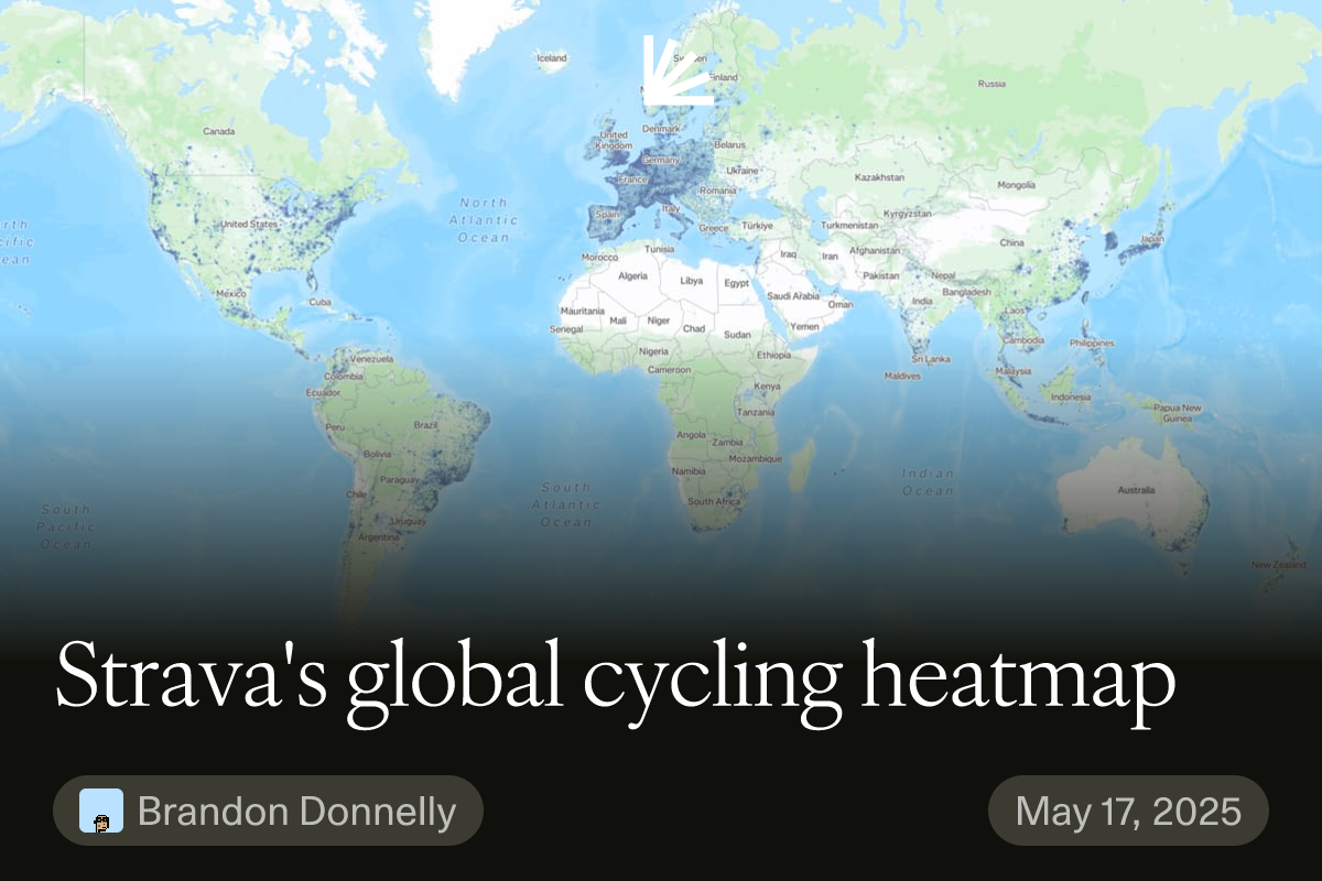
The result is that Strava collects mountains of data about the way people actively move about in cities — data on everything from cycling to backcountry skiing. Some of this aggregated/anonymized data is available to the public via their global heatmap, but much more of it is available to urban planners and active transportation groups around the world. In fact, this is part of what Strava does: they help city builders. Here are some urban case studies spanning Rio de Janeiro to Park City.
Looking at central Toronto, our heatmap looks like this:
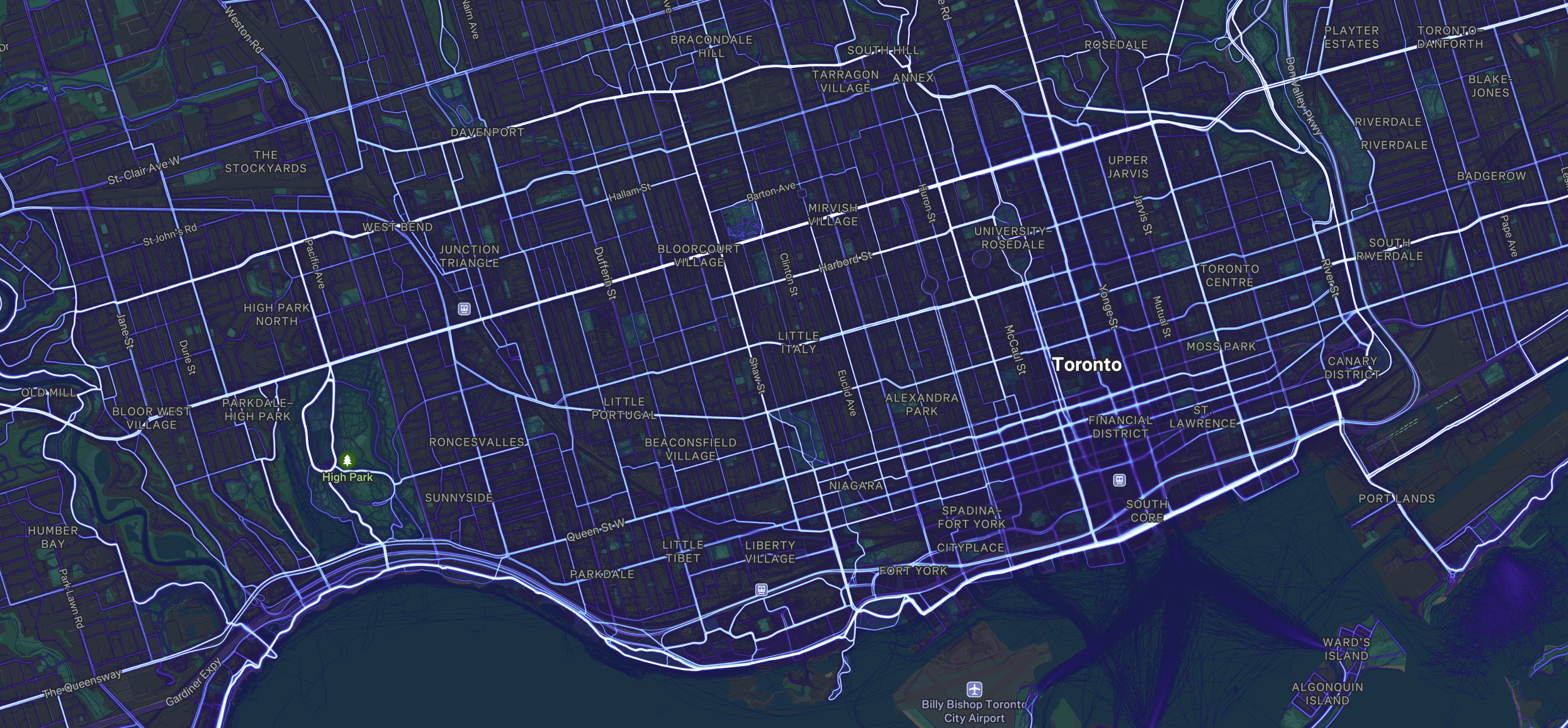
What is immediately noticeable is that cyclists will go where they feel safe. And that generally means streets with dedicated bike lanes. Looking at the above map, you can see that some of the most popular north-south routes are Shaw Street, Beverley Street/St. George Street, and Sherbourne Street. All of these streets have dedicated bike lanes. In the east-west direction, it's also clear that Bloor Street and Danforth Avenue form a hugely important crosstown artery. It is widely used from Etobicoke all the way to Scarborough.
At the same time, these maps start to show where there are broken links in the network. Annette Street and a portion of Dupont Street are, for example, widely used until you get east of the Junction Triangle. Then it falls off. This is unsurprising because it's a stretch of Dupont that isn't very friendly to cyclists. I know I certainly try and avoid it. Instead, we see that cyclists seem to be shifting northward to Davenport, which has a nice bike lane.
This is just one example, and I'm sure there's a lot of other takeaways that can be gleaned from Strava's data. So if you're a city builder and you aren't already leveraging this dataset, you may want to consider applying for a Metro Partnership. I'll be sure to continue doing my part and feeding it data about my laps in High Park and my stops for burgers and croissant sandwiches.